POSTCARDS FROM DESTRUCTION – Waveland, MS
CROSSING THE INFAMOUS RAILROAD - WAVELAND - FEB. 2008
 CSX railroad tracks at Waveland Ave. - The CSX railroad extends from border to border along the Gulf Coast of Mississippi and were the benchmark of total devastation. "South of the tracks" was the marker phrase used by everyone who tried to describe what had happened to neighborhoods and business districts on that side of the tracks.
  Waveland Ave. – formerly a tree lined street that formed a neighborhood.
 Waveland Ave. – Mississippi Cottage (on right) replaces FEMA trailers, but it is still temprary housing. House on left is raised per FEMA Flood Map requirements.
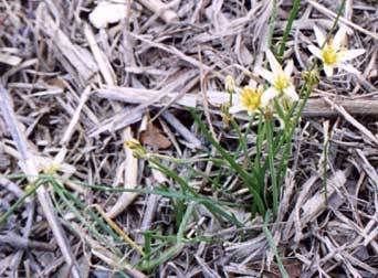
 Waveland Ave. Landscape
 Caught in Time Warp. Some recovery is in process, but all in general is slow. FEMA trailer in front of house and Mississippi Cottage in foreground.
 At Day's End. A half block from the beach, sunset on Oak Blvd. is a continuous reminder of the breadth of destruction to the environment. Here, as elsewhere, pine trees were once thick and together with massive Live Oaks, provided cooling shade in summer and continuous green in winter. Now there are dead and dying trees all along the coast. Some Live Oaks continue to cling to life with only a few of their branches. Most pines along the beach area look like decimated sticks in the ruined earth.
Labels: Katrina recovery, time warp, Waveland
posted by bluecat @ 7:30 AM
1 Comments
![]()
![]()


1 Comments:
This is definitely the BEST Katrina blog I have come across.
Post a Comment
Subscribe to Post Comments [Atom]
<< Home